

Directions for Navigating on Part of the South Coast of Newfoundland, with a Chart Thereof, Including the Islands of St. Peter's and Miquelon / And a Particular Account of the Bays, Harbours, Rocks, Land-marks, Depths of Water, Latitudes, Bearings, and Distances from Place to Place, the Setting of the Currents, and Flowing of the Tides, &c., from an Actual Survey, Taken by Order of Commodore Pallisser, Governor of Newfoundland, Labradore, &c.
Explore more books like this:
About This Book
A practical coastal survey supplying detailed sailing directions and a chart for sections of Newfoundland's south coast, including St. Peter's and Miquelon. The text gives place-by-place descriptions of bays, harbours, islands, rocks, ledges, and landmarks, and records latitudes, bearings, distances, depths and anchorages. It describes tidal flows and local currents, recommends courses and safe holding ground, and warns of submerged hazards. Short observational notes on coastal appearance and sheltered fishing conveniences accompany the navigational data to help mariners approach passages and choose safe berths.
About the Author
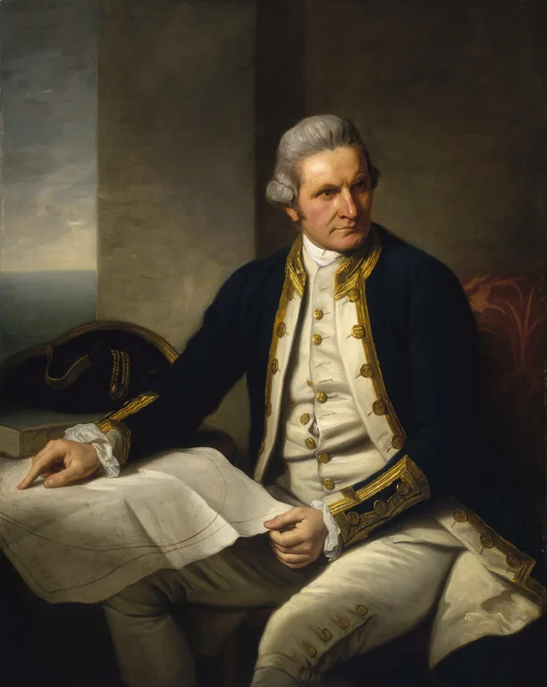
More Books by This Author
2 picks


You May Also Like
6 picks
 Entertainments for Home, Church and School
by Frederica Seeger
Entertainments for Home, Church and School
by Frederica Seeger
 Home Arts for Old and Young
by Caroline L. Smith
Home Arts for Old and Young
by Caroline L. Smith
 A Popular Account of the Manners and Customs of India
by Charles Acland
A Popular Account of the Manners and Customs of India
by Charles Acland
 Meine Wasser-Kur / Durch mehr als 40 Jahre erprobt und geschrieben zur Heilung der Krankheiten und Erhaltung der Gesundheit
by Sebastian Kneipp
Meine Wasser-Kur / Durch mehr als 40 Jahre erprobt und geschrieben zur Heilung der Krankheiten und Erhaltung der Gesundheit
by Sebastian Kneipp
 The Aran Islands
by J. M. Synge
The Aran Islands
by J. M. Synge
 Making a garden of perennials
by W. C. Egan
Making a garden of perennials
by W. C. Egan