
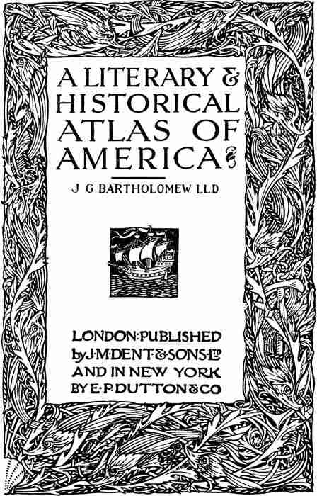
About This Book
This atlas assembles historical and modern maps, charts, and plans that trace geographic discovery, colonial expansion, political boundaries, and economic development across North and South America. It includes physical, climatic, vegetation, population, and railway maps, facsimiles of early charts and city plans, battle and siege plans, and charts linking places with literary and historical associations. Supplementary material comprises a concise survey of coinage, a gazetteer of notable towns, statistical diagrams of trade and population growth, and an index to facilitate cross-reference, offering a compact visual and documentary survey of the continents' geographic and historical evolution.
About the Author

More Books by This Author
1 picks

You May Also Like
6 picks
 Great Fortunes, and How They Were Made
by James Dabney McCabe
Great Fortunes, and How They Were Made
by James Dabney McCabe
 Narrative of the Life of J.D. Green, a Runaway Slave, from Kentucky / Containing an Account of His Three Escapes, in 1839, 1846, and 1848
by J. D. Green
Narrative of the Life of J.D. Green, a Runaway Slave, from Kentucky / Containing an Account of His Three Escapes, in 1839, 1846, and 1848
by J. D. Green
 State of the Union Addresses
by Richard M. Nixon
State of the Union Addresses
by Richard M. Nixon
 A Defence of the Hessians
by J. G. Rosengarten
A Defence of the Hessians
by J. G. Rosengarten
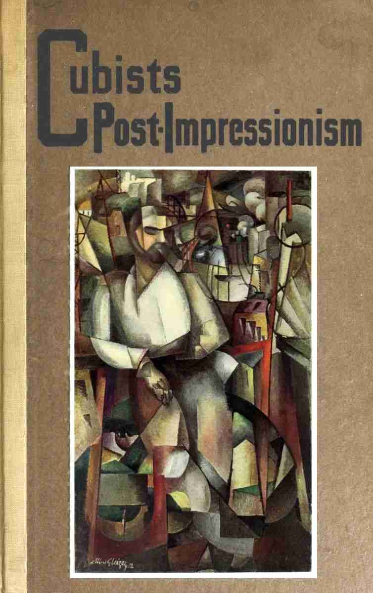 Cubists and Post-Impressionism
by Arthur Jerome Eddy
Cubists and Post-Impressionism
by Arthur Jerome Eddy
 A Bibliography of the writings in Prose and Verse of George Henry Borrow
by Thomas James Wise
A Bibliography of the writings in Prose and Verse of George Henry Borrow
by Thomas James Wise